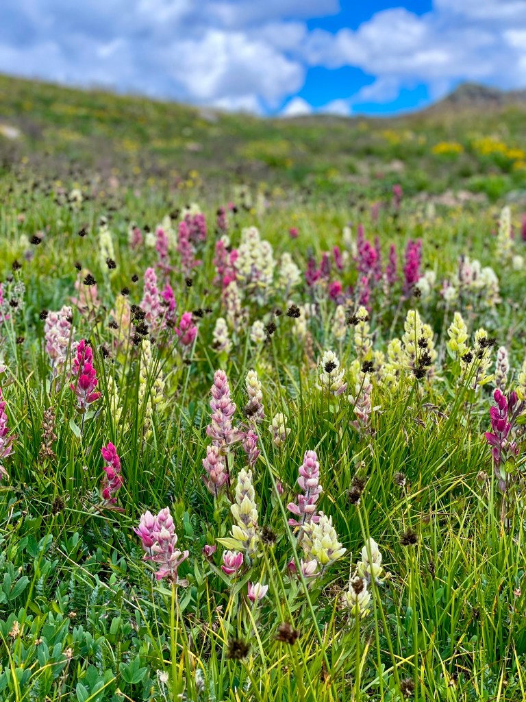
Deep in Colorado’s largest wilderness area, our adventure trio, Chris, Dave, and I, were hunting “spectacular plateaus of rolling tundra, ripsaw ridges, cliff-ringed lakes, and lush midsummer wildflowers” on The Weminuche High Route.
A quick snapshot: The Weminuche High Route (WHR), a 50-mile adventure hike, launches outside of Durango, CO, atop 11,000-foot Endlich Mesa, navigating endlessly north, zig-zagging up and down alpine valleys, passes, elk trails, stitching together old prospector claims, while overshadowed by behemoths peaks like The Guardian, Storm King, Silex, The Needles, Leviathan Peak, Jagged Mountain.
Thanks to our internal Swiss army knife of readiness, a handful of printed maps, and previous pioneer Steve Howe for the GPS tracks. We set out to explore this obscure backpacking high route.

What drew us to this backpacking exploration
Previously, we’d underestimated our Colorado homeland opting for other more isolated mountain ranges like The Wind River of Wyoming and The Brooks Range of Alaska. Although in our home state, the Weminuche remains a six-hour drive away, further limiting infrequent exploration and miscalculating her renowned steep, jagged, and lonely alpine terrain.
The plan was hatched: 1) Explore more of our Colorado home. 2) The route is point-to-point. It starts south on Endlich Mesa, outside of Durango, CO, meandering north, dancing in the high places finishing 50 miles later by descending right into downtown Silverton. 3) The alluring size and scale of alpine giants-hundreds of summits.

Sizing up the Weminuche High Route
How long will it take? Plan on five to eight nights. We packed food for six nights and finished the WHR in five nights-six days.
How many hours were you on the move every day? 7-10 hours each day.
How many miles did you cover each day? Daily average: 8-14 miles daily, with 3200 to 4500 ft of vertical ascent. At some points, we were going SLOW when we were Off-trail, e.g., talus ascent, carefully at one mph. At other points, with a good trail underfoot, we could cruise much faster: e.g., on the Colorado Trail, for a tiny bit, we averaged 3+ MPH. But that never lasted long.
What was the vertical ascent/descent for the entire route? 16,291+ vertical ascent and 18,239+ descent.

What can I expect and when should I go?
The WHR isn’t marked. No trail signs say, “go here, turn left.” It might look like we’re on a trail -just wait-ten feet later, it peters out, and you’re hunting for a new option. Losing the trail on a high route is par for the course. Scanning for game paths, old prospectors lines, elk hunters use tracks and bushwhacking up-down-across deadfall (down timber), creeks, spines, ravines, scree fields, talus, loose boulders strewn precariously descending alpine runouts. The rules of life on the WHR: walk softly, triple-check before committing to a turn.
The Pirates of the Weminuche High Route
Season: High summer promises the greatest ease of weather, no snow, river crossings are tame, and temperatures are moderate. Start as early as late-May and plan for snowy passes. September-October promises cooler temperatures and dry Indian Summer conditions with the risk of snow showers in the high places.

My Journal entries during our adventure
Day 2: Pirate flag makes me laugh. Each day, new guy carries on his pack. At night to signal happy hour begins at camp host’s tent
Day 2 evening: Deer walks into camp as we listen to Resilience meditation together
Day 3: Not everyone on our team thinks talus walking is fun
Day 4-5: Spontaneous shower in an alpine waterfall coming off Leviathan’s shoulder
Walked into Silverton: Swollen feet-a bit tired, but full. Sun-stained and wholehearted

Getting there
From Durango: Plan to drive two-hours up to Endlich Mesa 4×4 vehicles required for the last 10 miles. After Arriving in Silverton, a preplanned shuttle recommended. No reliable Uber service.

Gear worthy of mention:
I’ve upgraded the backcountry equipment I carry on these expeditions with a focus on ultra light. I’m no zealot over ounces, but I do appreciate stuff that works, stuff that holds up and reduces my base weight of 13-14 lbs (my pack weight including everything but food and water).
Hyperlight’s 4400 Southwest Ultralight backpack | Endlessly comfortable & simple
Hyperlite Ultralite Pyramid Tent | Weighting 1lb simple and roomy for two
Trail Design Sidewinder Tri-Ti 900 ML bundle Alcohol stove | Quiet minimalism
Footwear: Hoka’s Speedgoat 5 | Best support I’ve had in a decade

Resources:
The National Forest Service does not require permits for entering the Weminuche Wilderness Area. From the NFS, “The Weminuche spans the Continental Divide, North America’s geological backbone, with its headwaters diverted to both the Pacific and Atlantic oceans. Eolus, Sunlight, and Windom peaks rise above 14,000 feet, while many others reach above 13,000 feet. With an average elevation of 10,000 feet above sea level, the Weminuche is rugged country, but its ecosystems are fragile.”
Backpacker article with GIA GPS waypoints. Another perspective on the route, access details, and specific route details here.
Special thanks:
Ben @ Backcountry Experience in Durango for your stoke, support and last minute gear items we forgot.


